I had a free day recently and decided to try to reincorporate the TextileArtist.org Stitch Club workshops back into my weekly routine; I am behind in workshops by two years! Therefore, I’ve shifted from any ideas of trying to catch up, and instead I’ll keep up with the current ones, fitting in older ones as time allows (ha!). This workshop was lead by Bridget Steel-Jessop who presented us with such a fun prompt: create a map marking a moment in time that a decision was made. I went “off piste” as my fellow UK stitchers often say, and changed two aspects from her plan. First, I didn’t use a road intersection, and second, this map was from after making a decision rather than representing the moment of choice.
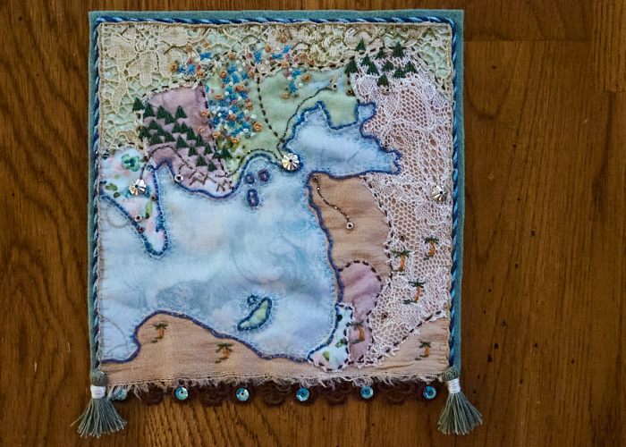
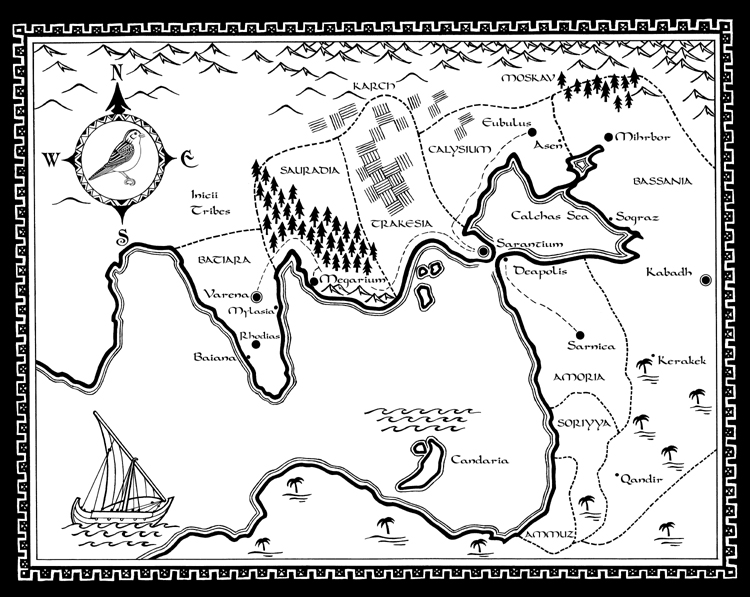
I came up with several momentous decisions I could work from, and I googled locations to match them. Either I found the map itself too complicated or too boring, or the emotion about the decision wasn’t strong enough for me to want to spend time on it. After ruminating on it for a while, a few things came together for me. With the last workshop I did, RPG maps kept coming to mind, but that project went a different way and became an emotional map instead. Second, I’ve been following Brandon Sanderson‘s creative writing class and podcast, and we both share a love of maps – it made me think about using a fictional map from a book I’ve read. Then, my anniversary with Boy came around (13 married / 23 total) and we reminisced a bit on our youthly days. So there it was, a map from a book that represented my decision to move way back when. And as luck would have it, shortly upon moving, Boy gave me a book I hadn’t read yet by a favorite author of mine. The book theme and map were perfect for how I was feeling about my decision! Thus, I chose to work with the map designed by Martin Springett from Sailing to Sarantium by Guy Gavriel Kay.
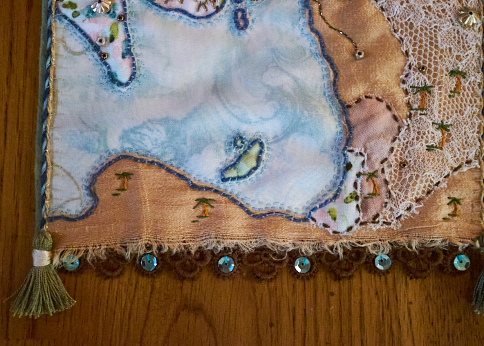
It’s funny to me that I did attempt to use colors from the book theme of darker and more serious blues, greens, and golds, and yet somehow translated that into the usual color palette of mine, gah! The fabrics are mostly cotton and silk, with a layer of lace fabrics in two places, and a sheer covering the water (difficult to see that in a photo, I’m afraid), all attached to a piece of wool felt.
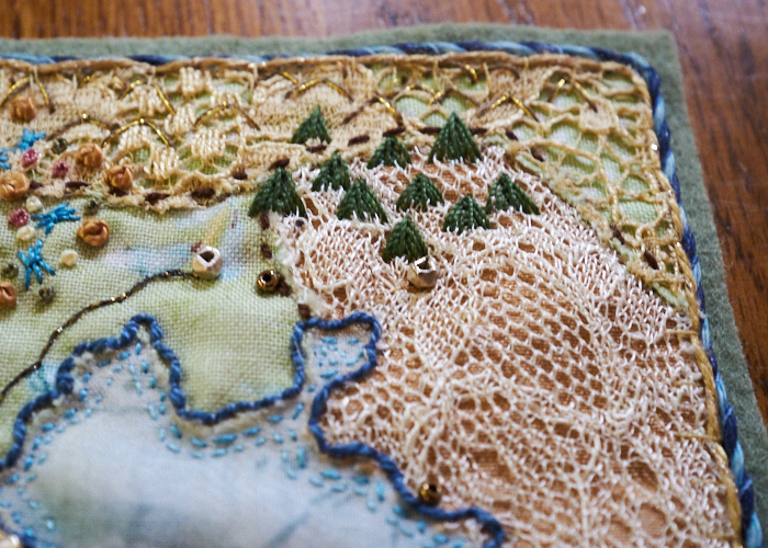
The mountains and dunes are done in a single fly stitch using a brown thread alongside a gold filament. The evergreen trees are stacked fly stitches, with a straight stitch running vertically on top,
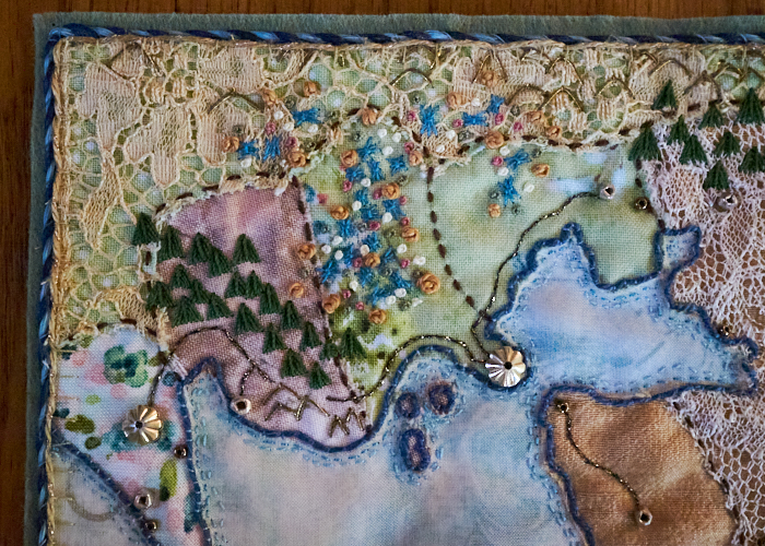
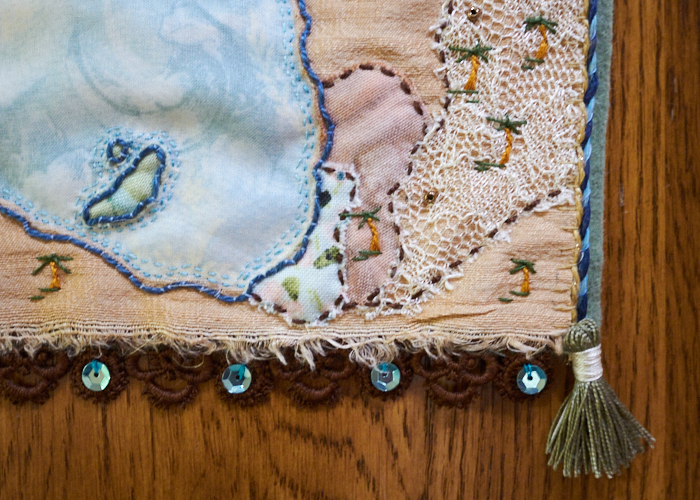
The palm trees have stem stitch trunks and I don’t know if their tops have a stitch name – I made a wonky cross stitch with an extra stitch added to pull the center together. I added straight stitches under each palm tree.
The blue sheaf stitches and assortment of colonial knots represent the agricultural fields.
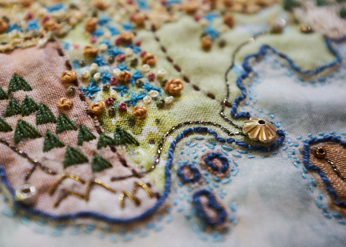
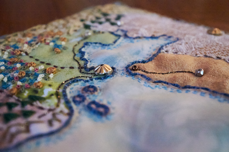
The cities are represented by beads of different size and metals to add a bit of sparkle. The roads are done in a metallic thread. And each region is divided with a simple running stitch. The coast line is outlined with a couched perle cotton and teeny tiny running stitches in shades of blue.
To finish off the map, when attaching it to the felt, I just used basic tacking stitches that are mostly hidden (they show the most along the water edge). Then, I couched a waxed blue variegated twine and sparkly beige fiber around the edge. To weigh down the bottom as I often like to do, I added a dark brown lace trim with teal sequins and then added two small handmade tassels (following this tutorial) at the corners to lend a bit of majesty to the whole thing.
I don’t expect I will be able to “stay caught up” with Stitch Club each and every week, but I do hope to make at least a valiant effort to get it into a routine by the end of the year. The trouble is, my works-in-progress seem to be breeding like rabbits! Oi!



0 Comments